Parque Natural Mexiquillo

4.30.2018

Arrow Rock

The entire village of Arrow Rock has been designated a National Historic Landmark recognizing its association with Westwart Expansion and the Santa Fe Trail. The village retains much of its 19th century Boonslick character. Arrow Rock was named for the nearby flint deposits used by the Indians to craft arrow heads and other stone tools.
Lew and Clark camped near here on June 8th, 1804.


Original pavers and gutter stones.


Mark checking out the town jail that never held a prisoner. 

Courthouse


I don't know what this beautiful tree is called.

Main Street


Redbud tree

Home of Dr. Matthew Hall, a noted civic leader
and community physician.

Great little town.

4.29.2018

Katy Trail

Finally met up with the WINs today. We biked the Katy Trail here in Boonville, MO. I can't remember the last time I biked, let alone did 15 miles. Can you say "rubber legs"?
Katy Trail State Park is the longest developed rail-trail in the country. The park, built on the former corridor of the Missouri-Kansas-Texas Railroad (MKT or Katy), is 240 miles long and runs between Clinton and Machens, MO with 26 trailheads and four fully restored railroad depots along the way.


4.28.2018

Fort Larned

Fort Larned was a Kansas post that guarded a portion of the 900 mile Santa Fe Trail. This post evolved from a rough, temporary camp in 1859 to bustling town by 1867, only to became a near ghost town by 1878 when the new Atchison, Topeka and Santa Fe Railroad reduced commerce on the Santa Fe Trail to a trickle.


Mail Wagon, a small stagecoach. 
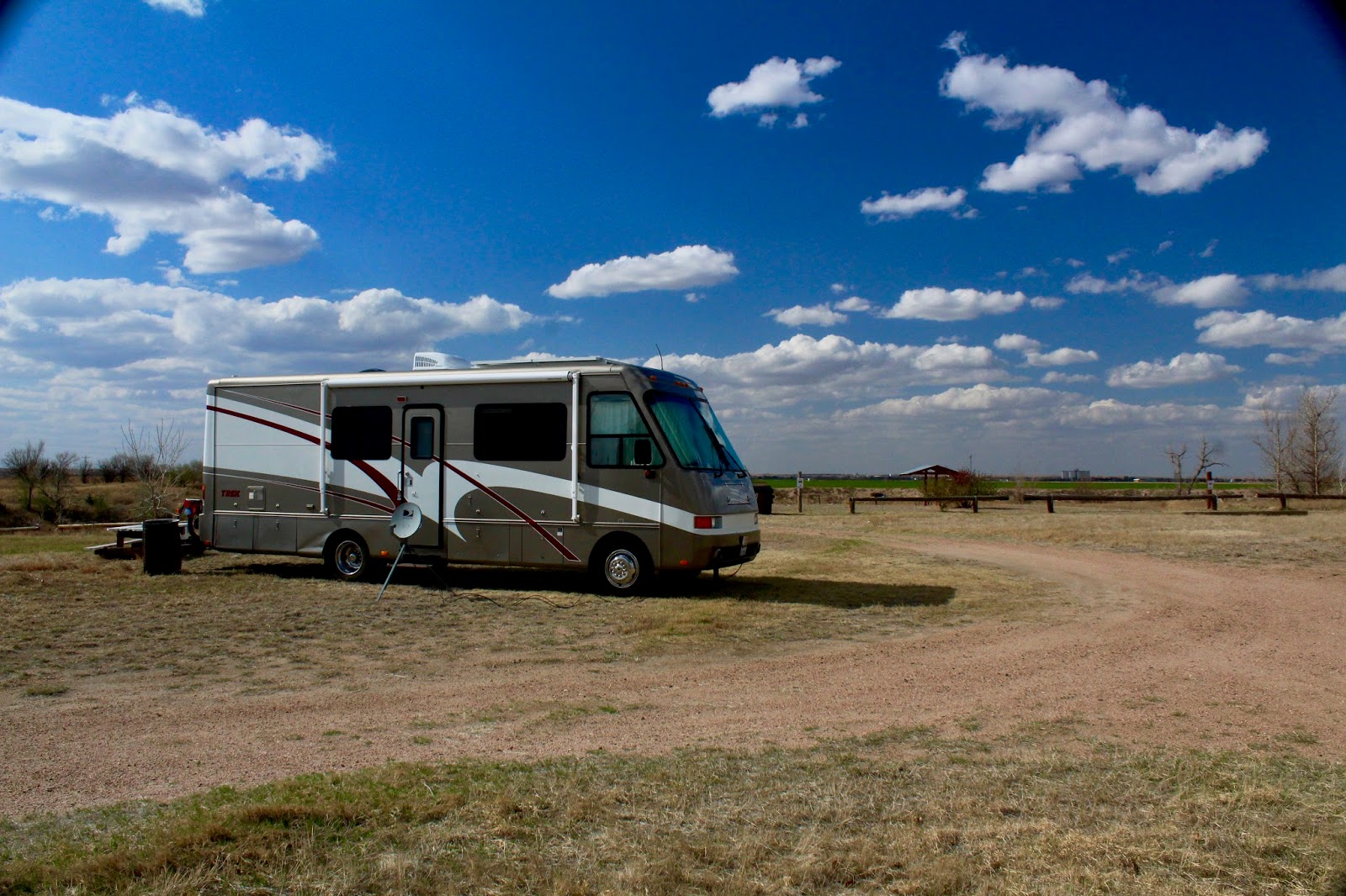
Traveling by RV is soooo much easier.

Quartermaster supplies


Armory


Carpenter's shop

Doctor's office

Hospital. Cholera and  dysentery were common.

Officers and their wives lived in the best quarters amid fine furnishing and servants brought form the East. They aimed to keep up their upper-class lifestyle amid their "primitive" surroundings. 


The park service has done a tremendous job restoring the post. In 1902 Mr. Frizell purchased the decommissioned pot and began a dancing operation. He highly modified the existing stone building and added others. In 1967 the Park Service purchased the property and began stripping away the gambrel roofs added in 1929 and other modifications to reveal the original stone buildings.  


Ranch in 1956

Camped last night at Geary State Fishing Lake.
38.896066, -96.855073
Free

Tonight I am at the Isle of Capri Casino beside the Missouri River. 38.978408   -92.746762  The WINs are east of here and will arrive tomorrow. It will be nice see everyone and begin a leisurely pace exploring the Lewis & Clark Trail.

4.26.2018

Into the Flat Land

I love traveling the back roads and hwy 50 is a great one. Many small interesting towns and light traffic. You can take it all the way to Ohio.

Climbing the west slope of the Rockies


Below Monarch Pass was a flashing sign saying that chains would be required at 10,000 feet. Serenity doesn't chain up. It was  clear and sunny,  pavement was dry, I decided to head on up. I could always boondock somewhere up there. 

No shoulder. Don't look down
Monarch Pass 11.312 feet. Open, no chains required.
Old mine
Interesting home
Out of the Rockies. Boy is it flat.
222  slow intense miles. 
Tucked in at Beymer Park, KS. Its Free. The wind will rock me to sleep.
37.900691, -101.258371 
Yesterday marked the beginning of my 6th year on the road. It has been a great adventure. Great new friends and wonderful places visited. What a great country we live in.

4.24.2018

300 Mile Days

Carson City  to Ely NV yesterday under overcast skies. I stayed at Ward Mountain Campground, 39.212109  -114.967265.  This was a wonderful, clean, campground that looked like it had just been built. Tables, fire rings and barbecues at the sites. Better yet, it is free from November to mid May.
Today I reached Green River UT where I am enjoying free BLM land.

Heading east on Hwy 50
Mine tailings, Eureka NV


Mt Hope open-pit molybdenum mine is located to the north-west of Eureka, Nevada. It is considered to be one of the world’s biggest and highest-grade molybdenum deposits.

Google earth view of the mine


Utah and the beginning of canyon lands.

Down shifting is the smart move


Tonights camp 38.953955  -110.184135

4.21.2018

Heading East

I am heading east to Kansas City, MO to join up with the WINs for the Lewis and Clark Circuit. They are starting from St. Louis today, so I will be a week or so late. I am in Carson City, NV visiting friends and will begin the 1,800 mile journey to KC on Monday. 

Heading over Donner Pass to Reno

You can see the avalanche sheds protecting 
trains crossing the Sierras.

Donner Lake

Train rolling downhill into Reno.  Truckee River on the left. 
No, I didn't park. Shot on the fly.

It turned out to be an easy drive. I few small snow flurries attacked the windshield, but the pavement was dry all the way.

Sad News
The US Forest Service has this amazing program, Passport in Time. You can volunteer for different projects in the national forests. I had always wanted to dig up a dinosaur. In 2012 I was accepted for a Triceratops dig. I figured the chance of lighting striking twice were slim, but ever hopeful I applied again. "The PIT project leaders have made their decisions, and I am sorry to tell you that you were not selected for the Digging Up Triceratops"    :-(


New pill box. You know you are getting older when your old pill box is too small

Bright and sunny for my 3 mile walk this morning.